From the borderlands to the centre: land travelling in Myanmar
Francesco Buscemi
PhD candidate in Political Science and International Relations at the Pisa-based Sant’Anna School of Advanced Studies. His main areas of interest include insurgency and non-state actors.
In the early 2000s, with an article entitled “Geographies of Knowing, Geographies of Ignorance”, Willem van Schendel explored how areas are imagined and how knowledge constructs them into “heartlands” and “borderlands”. Re-elaborating on these ideas, Mandy Sadan has argued that centres normally know much less about their peripheries than the peripheries know about centres. The pictures below continue this problematic trend, but at least are ordered from the supposed borderlands to the supposed heartlands, from northern Shan State (Myanmar) to Mandalay, Yangon and Bangkok.
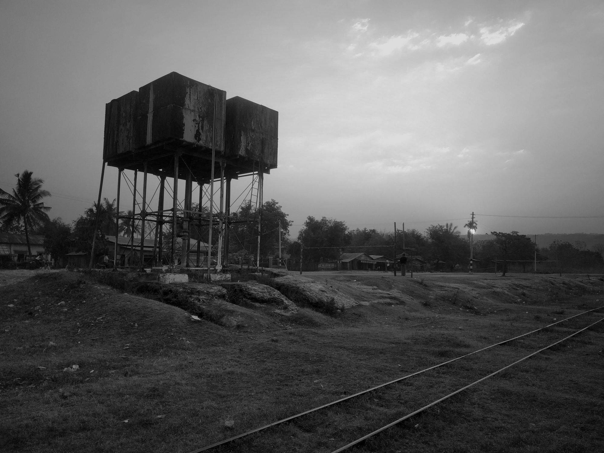
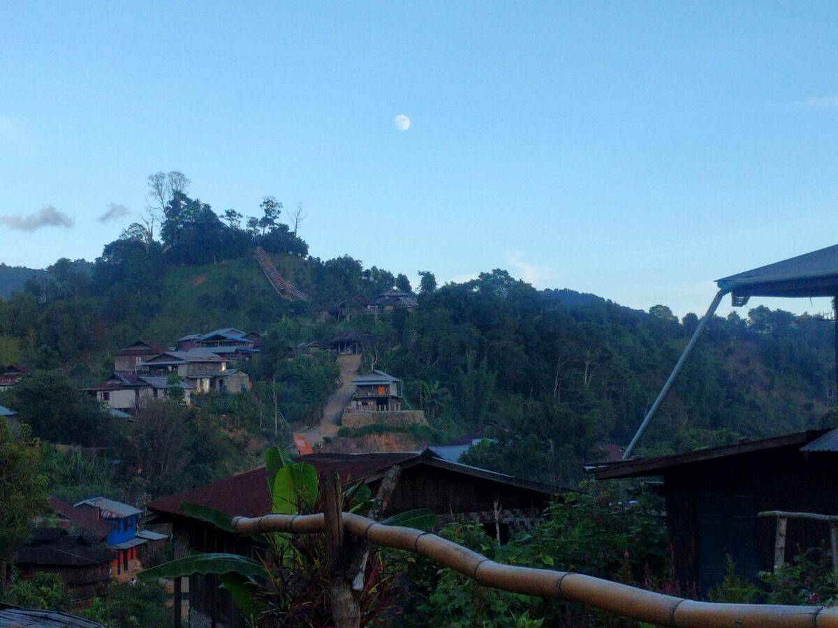
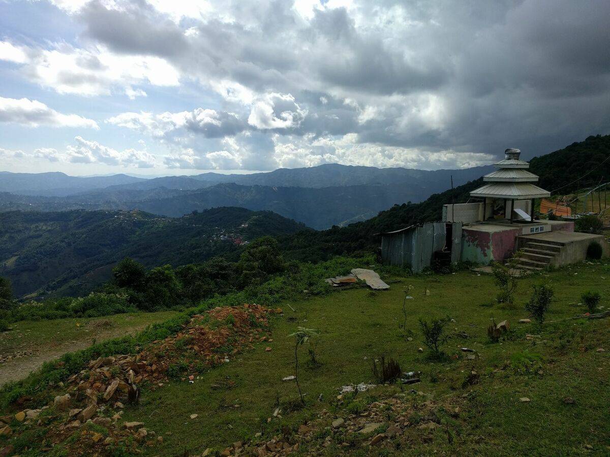
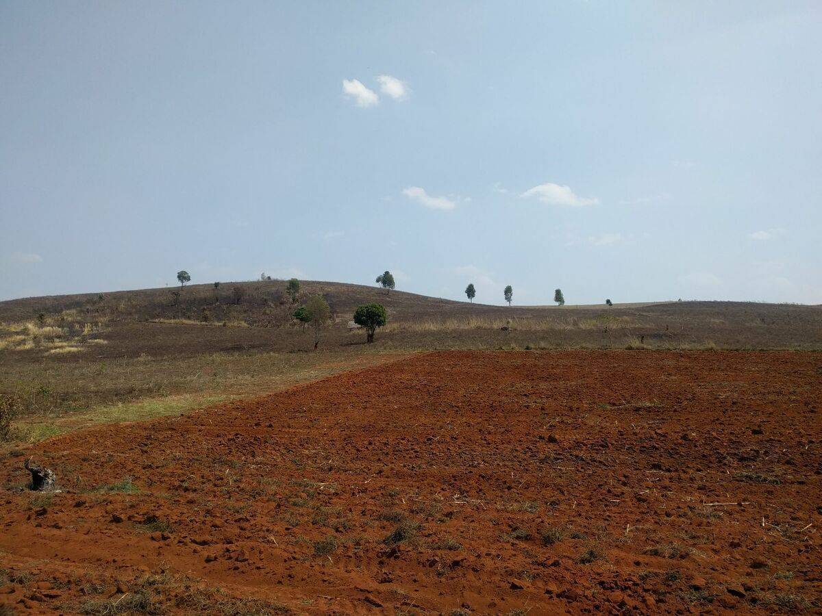
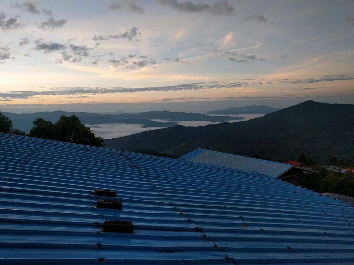
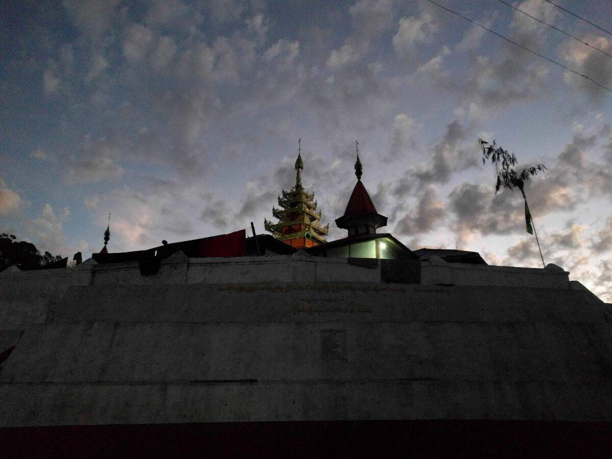
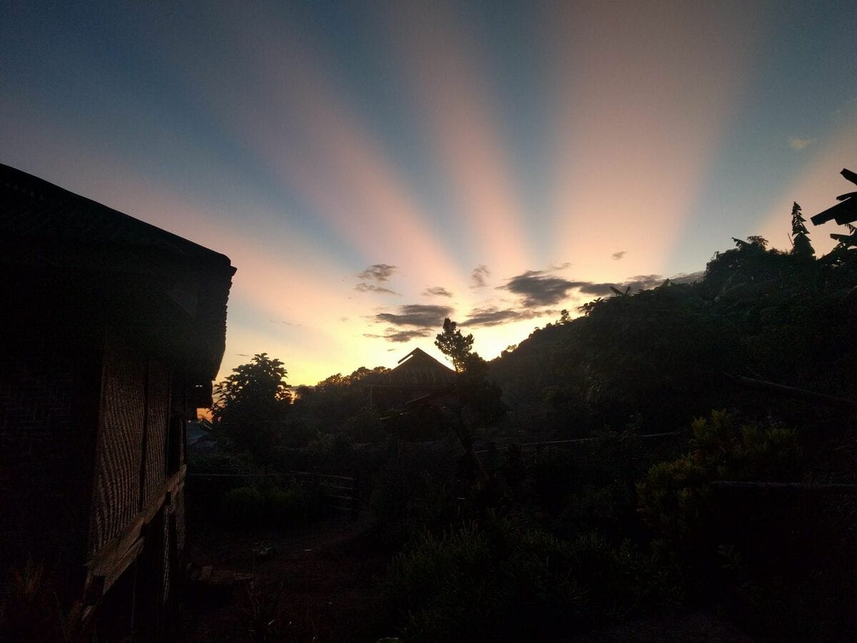
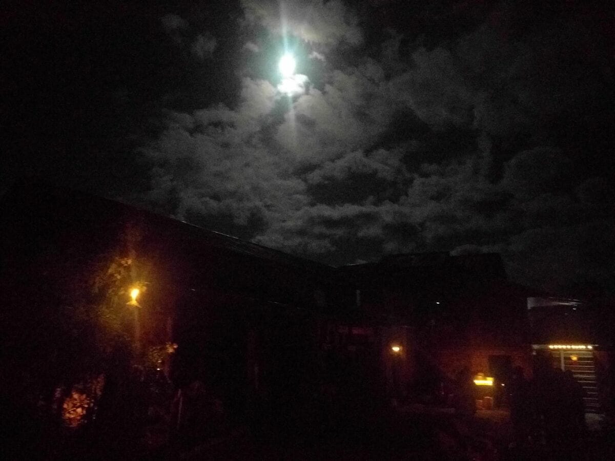
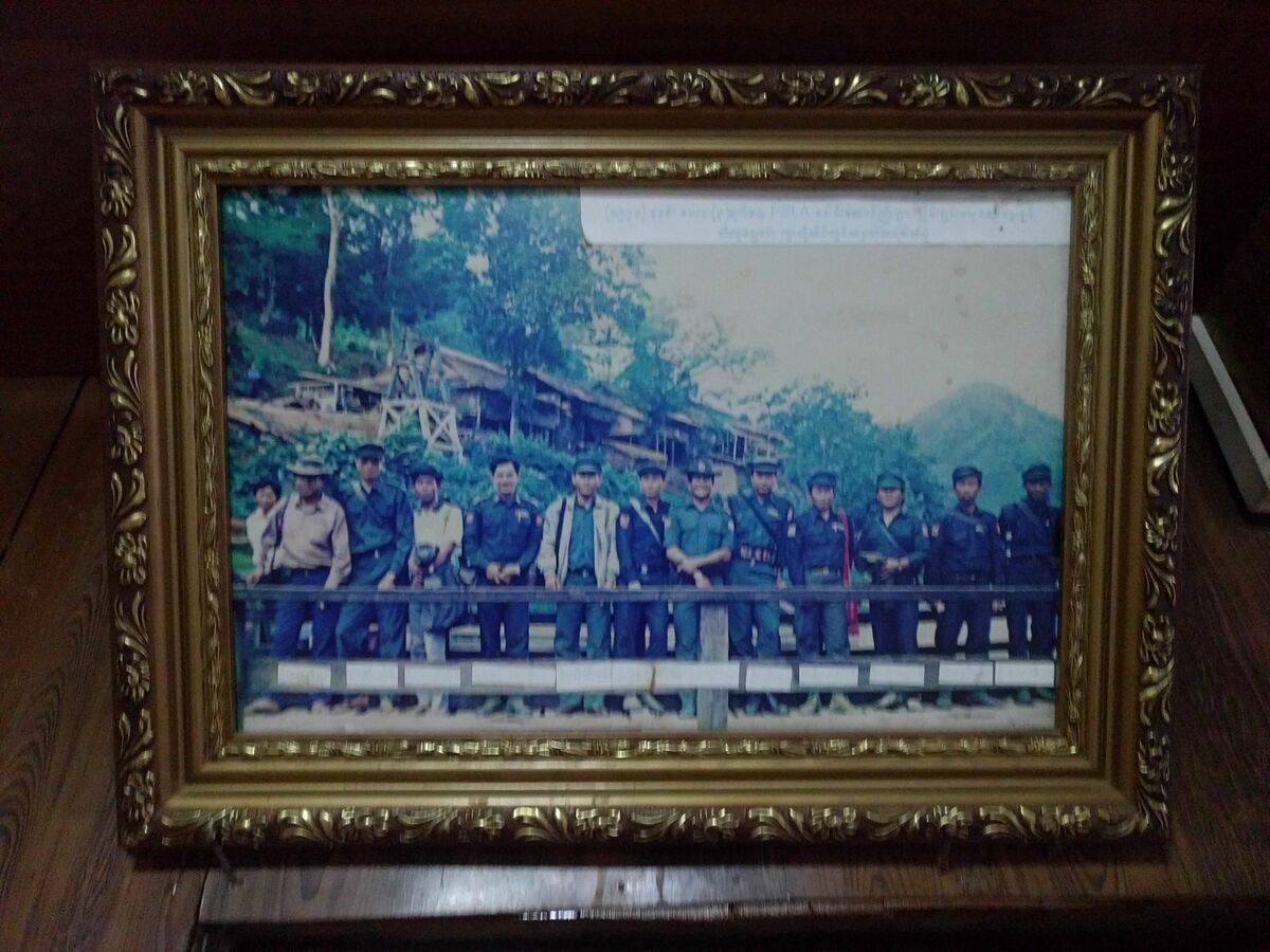
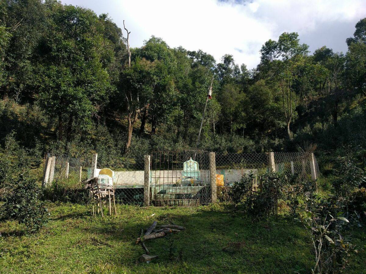
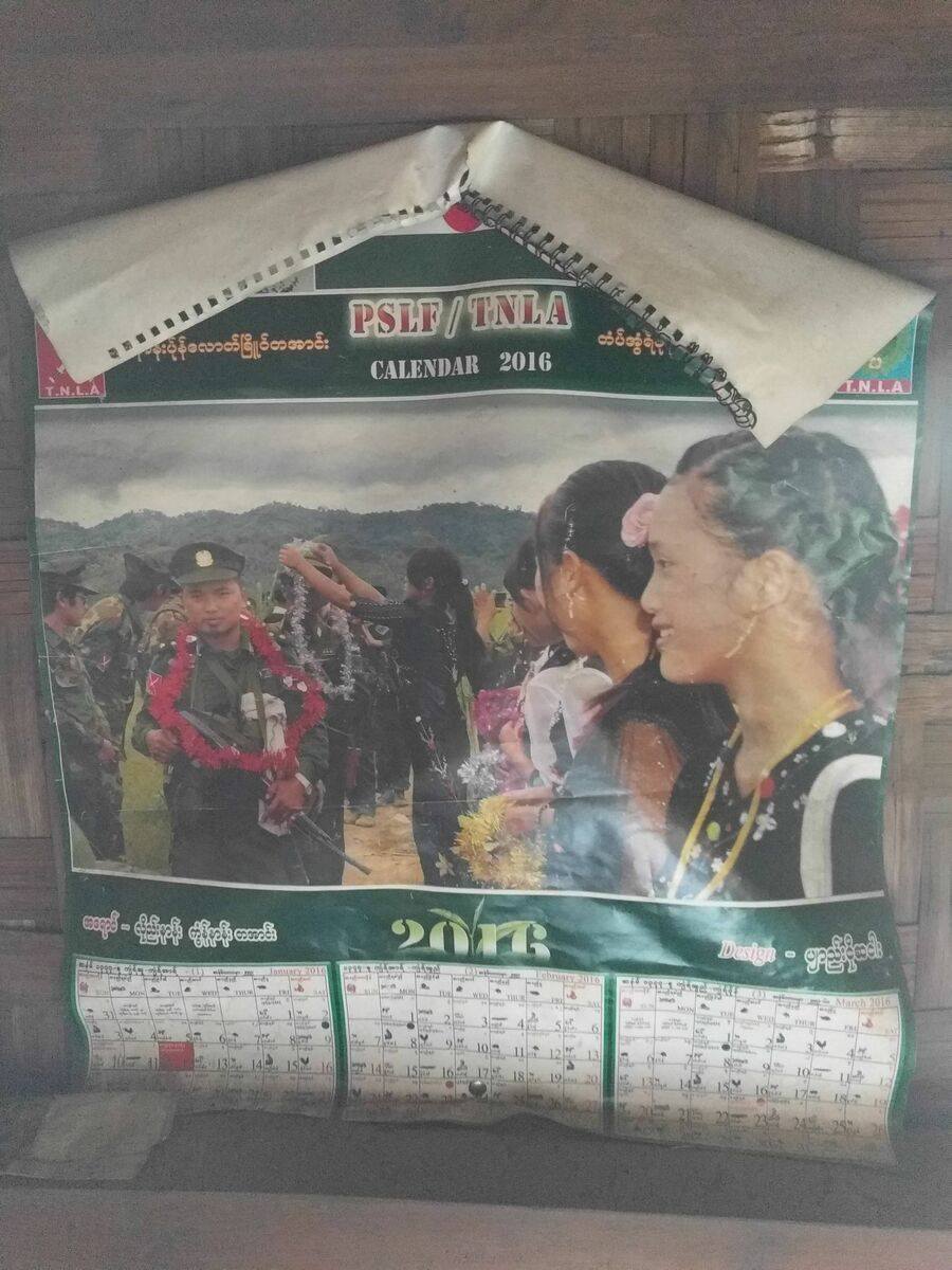
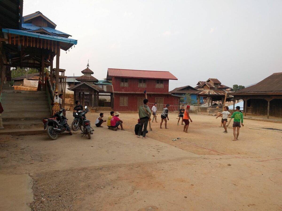
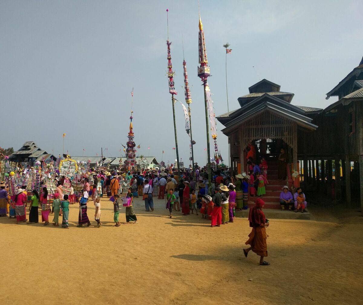
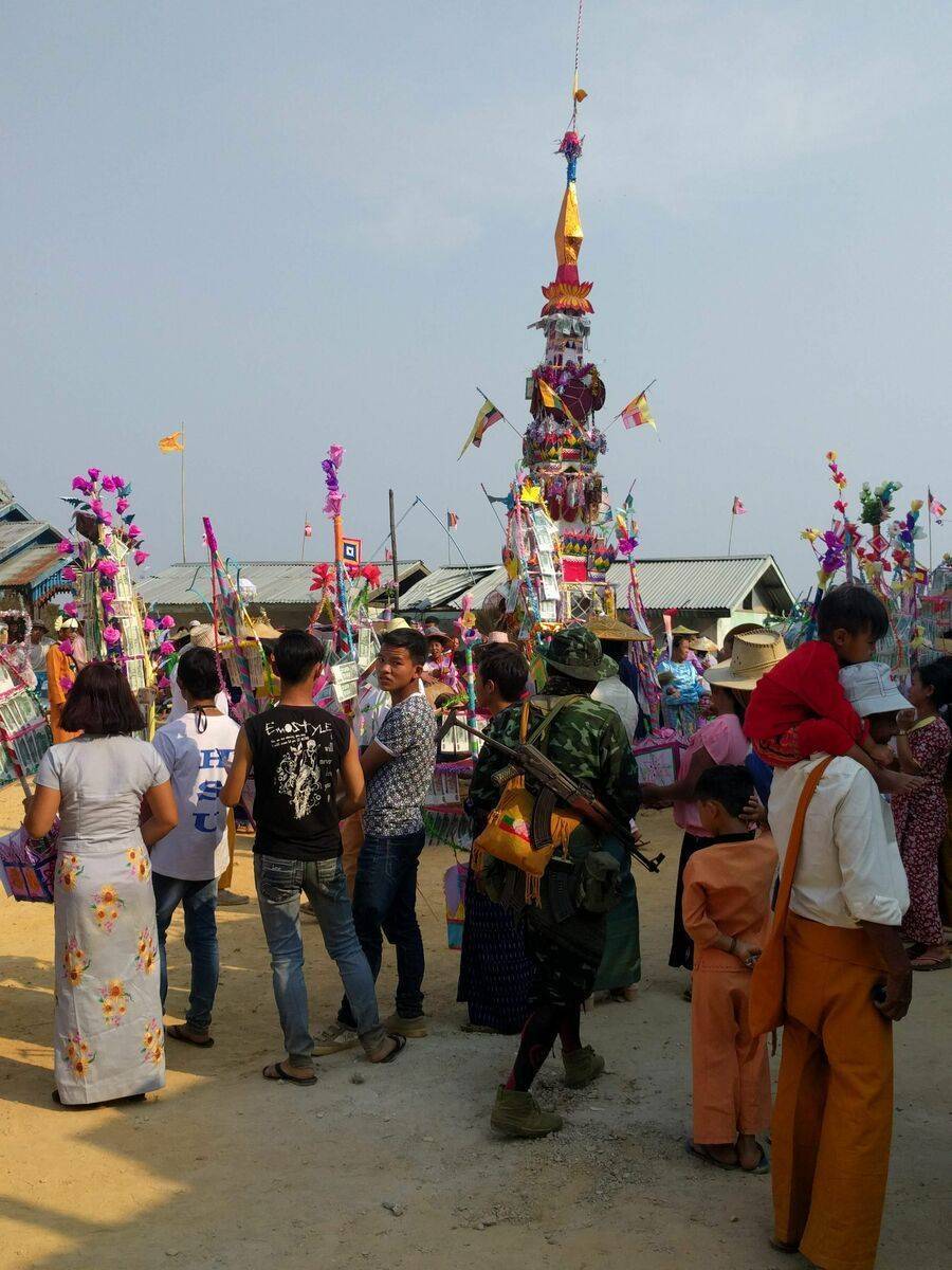
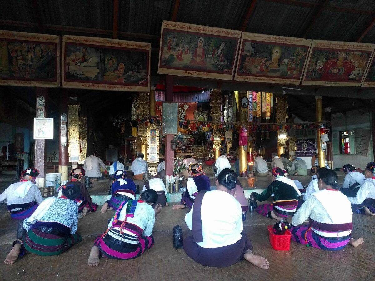
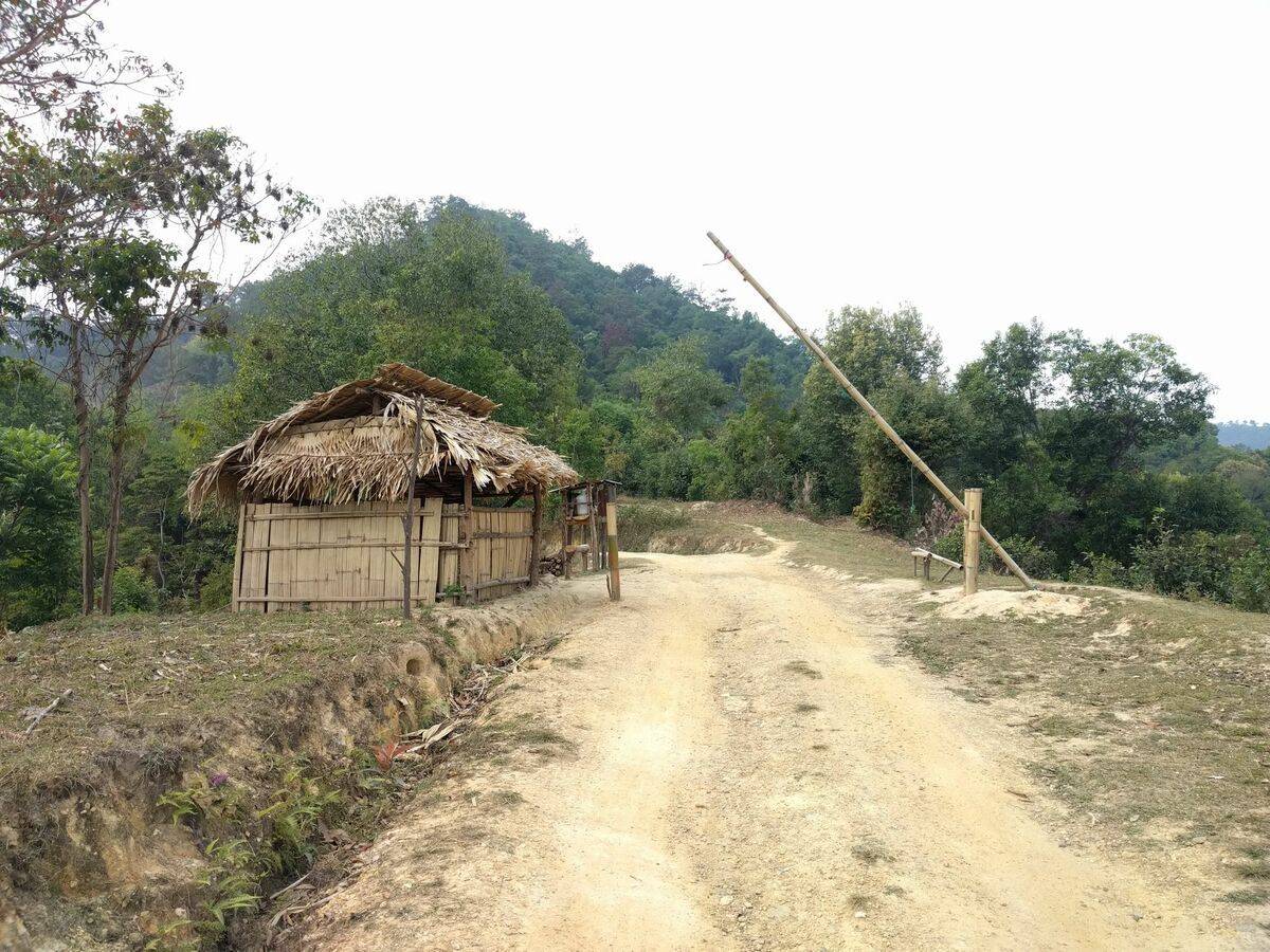
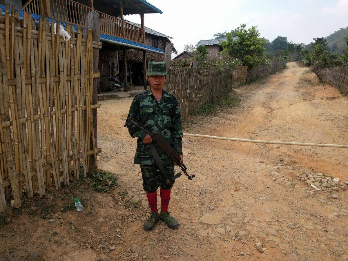
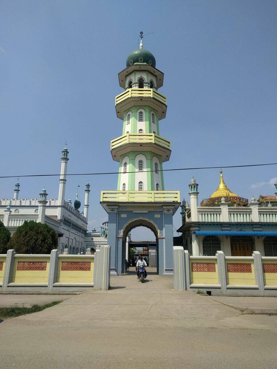
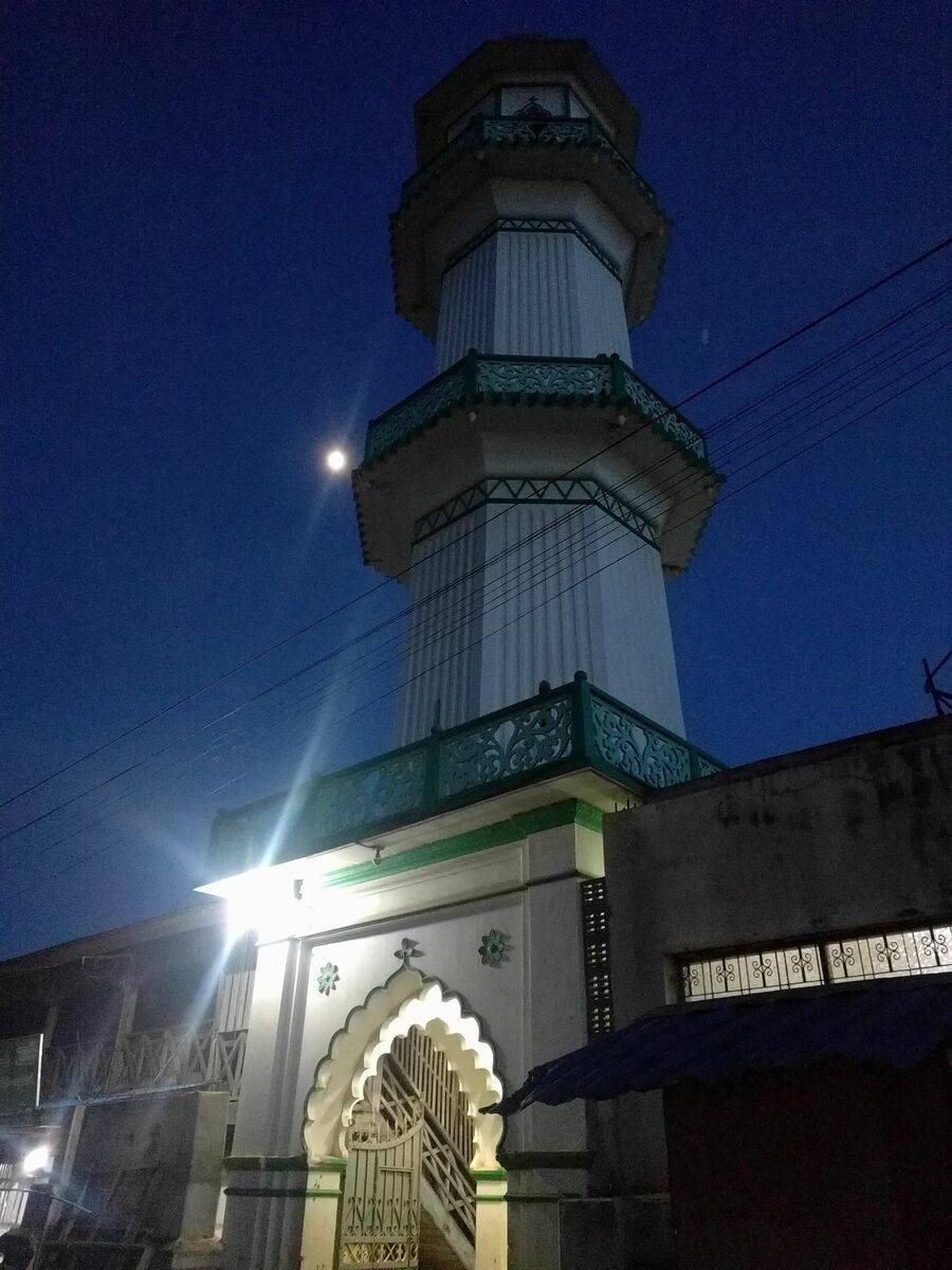
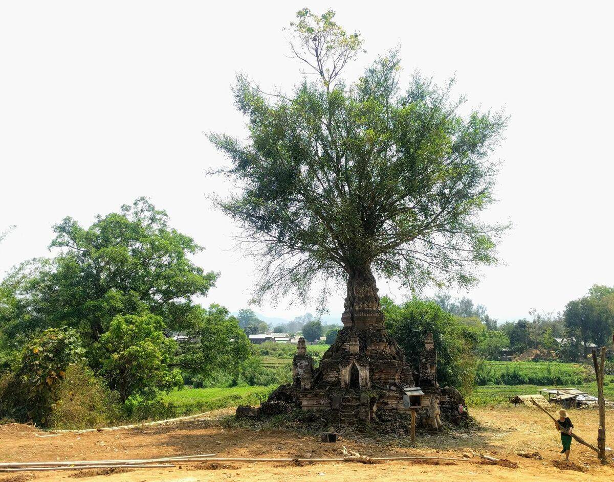
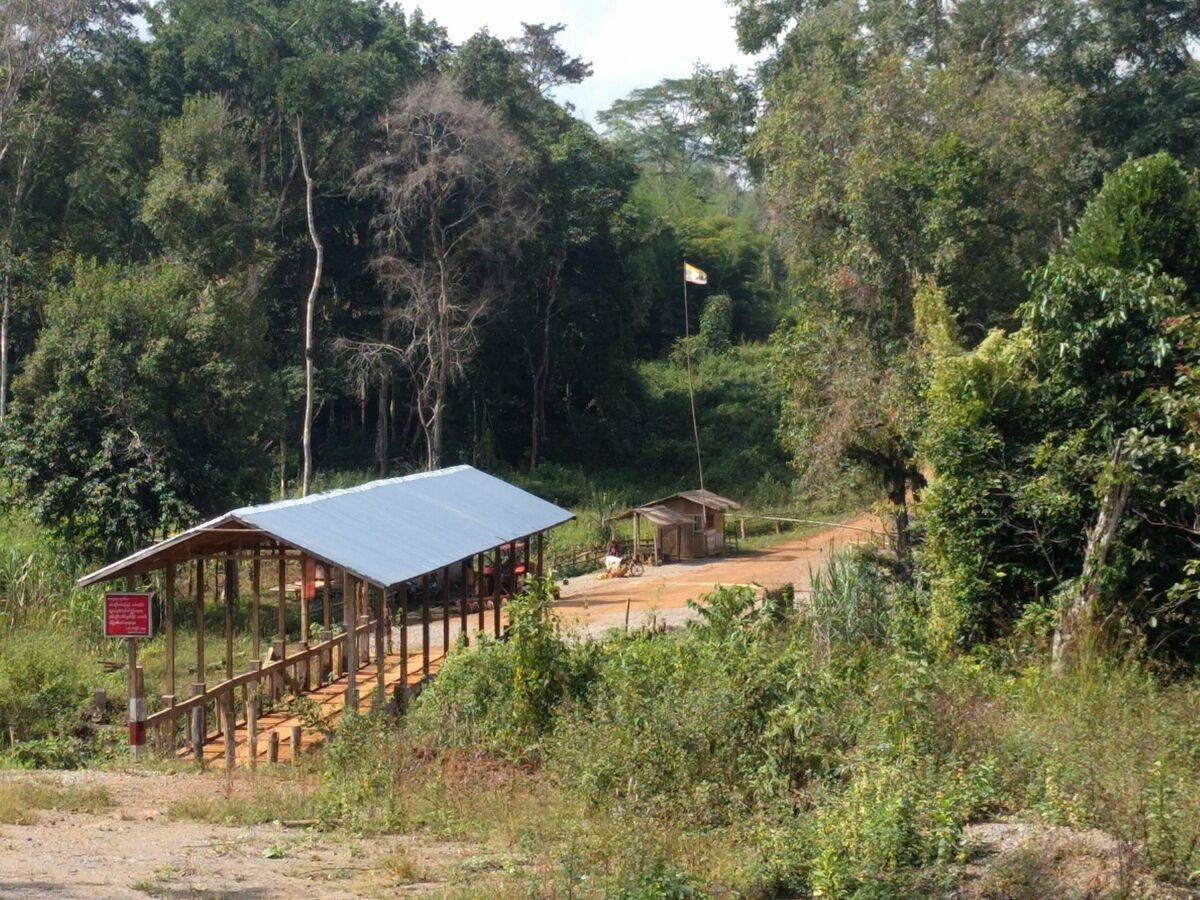
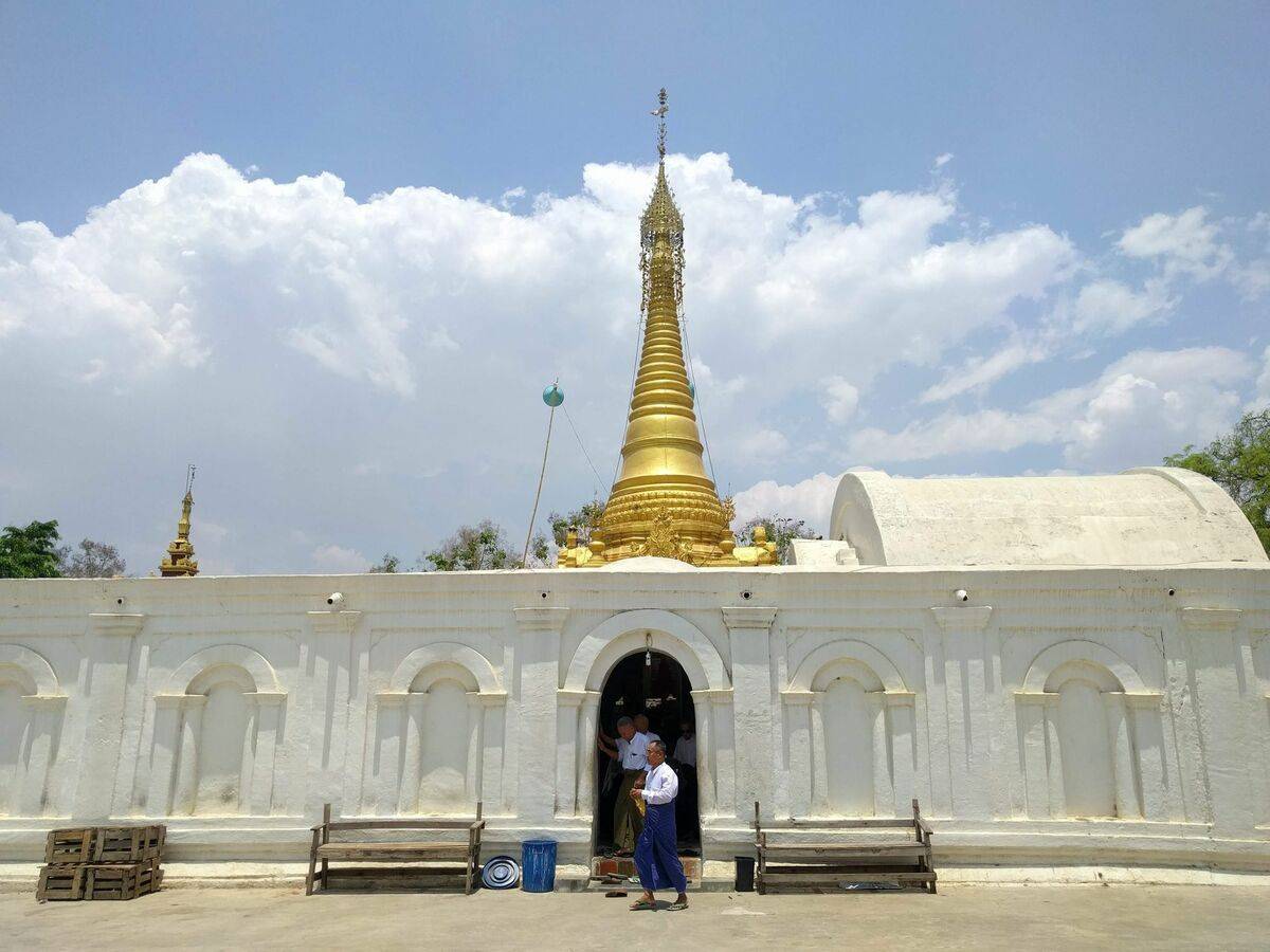
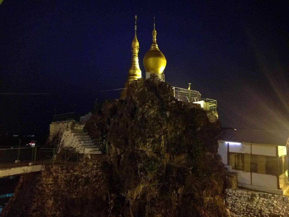
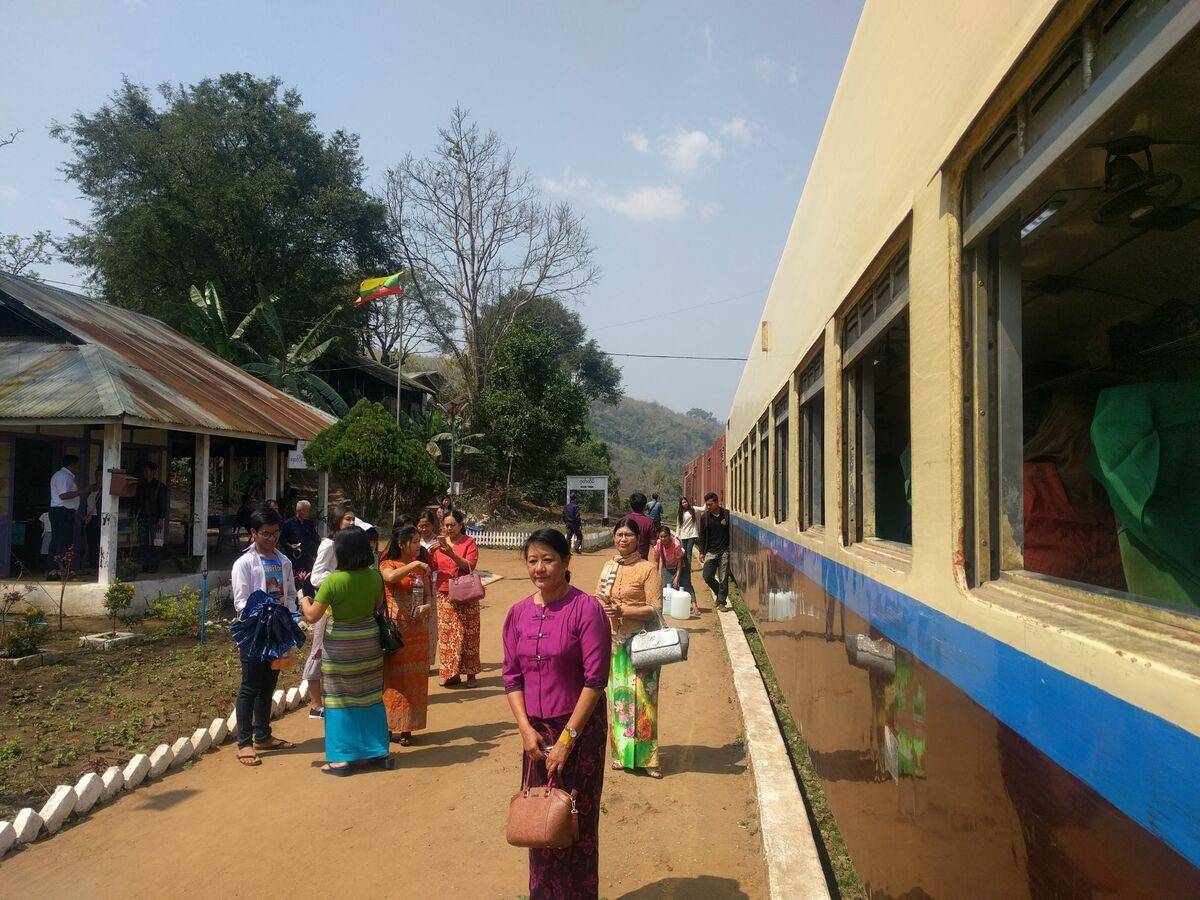
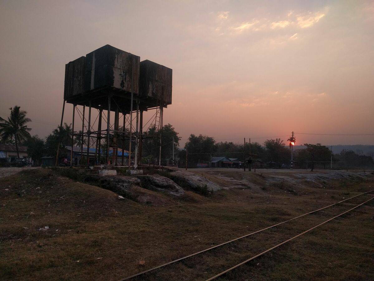
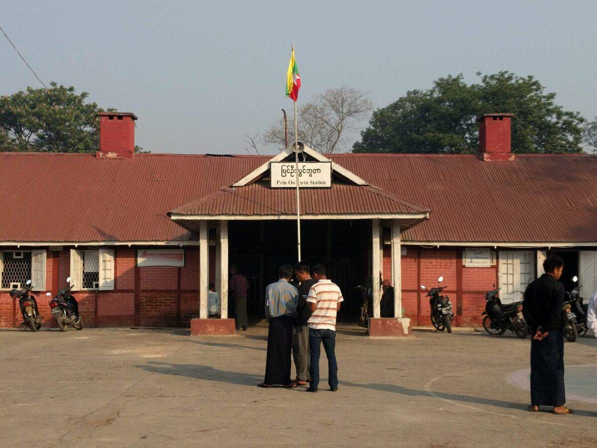
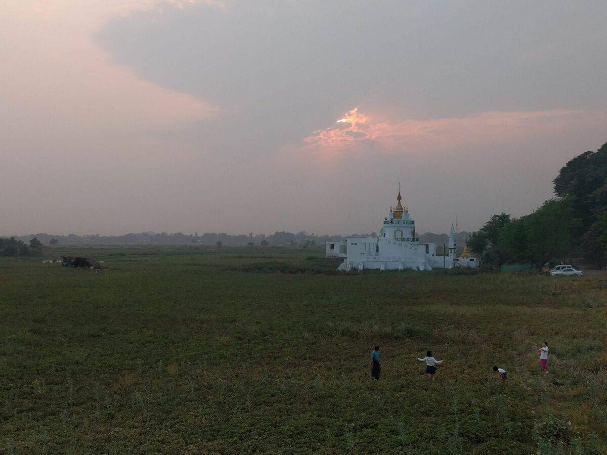
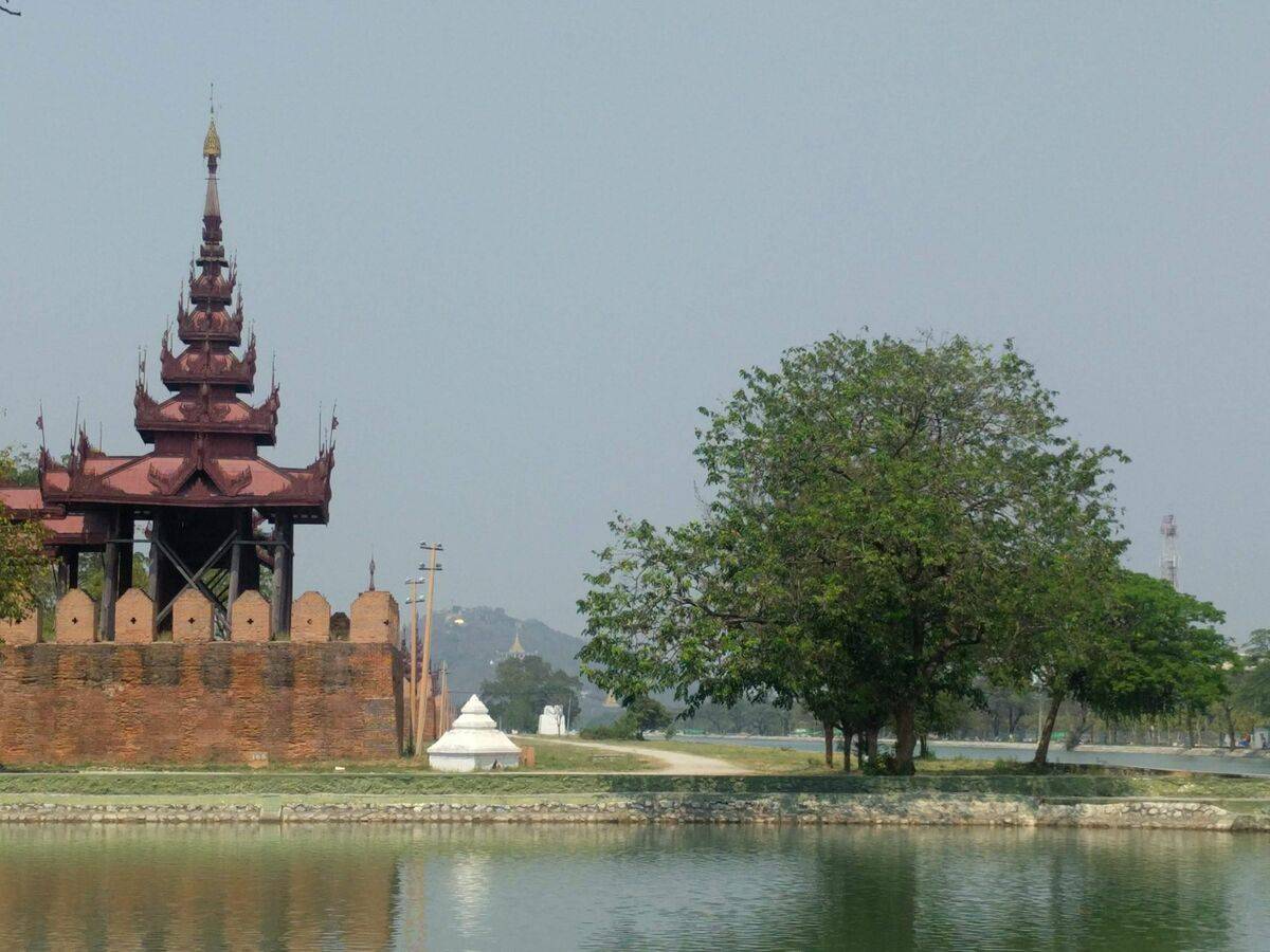
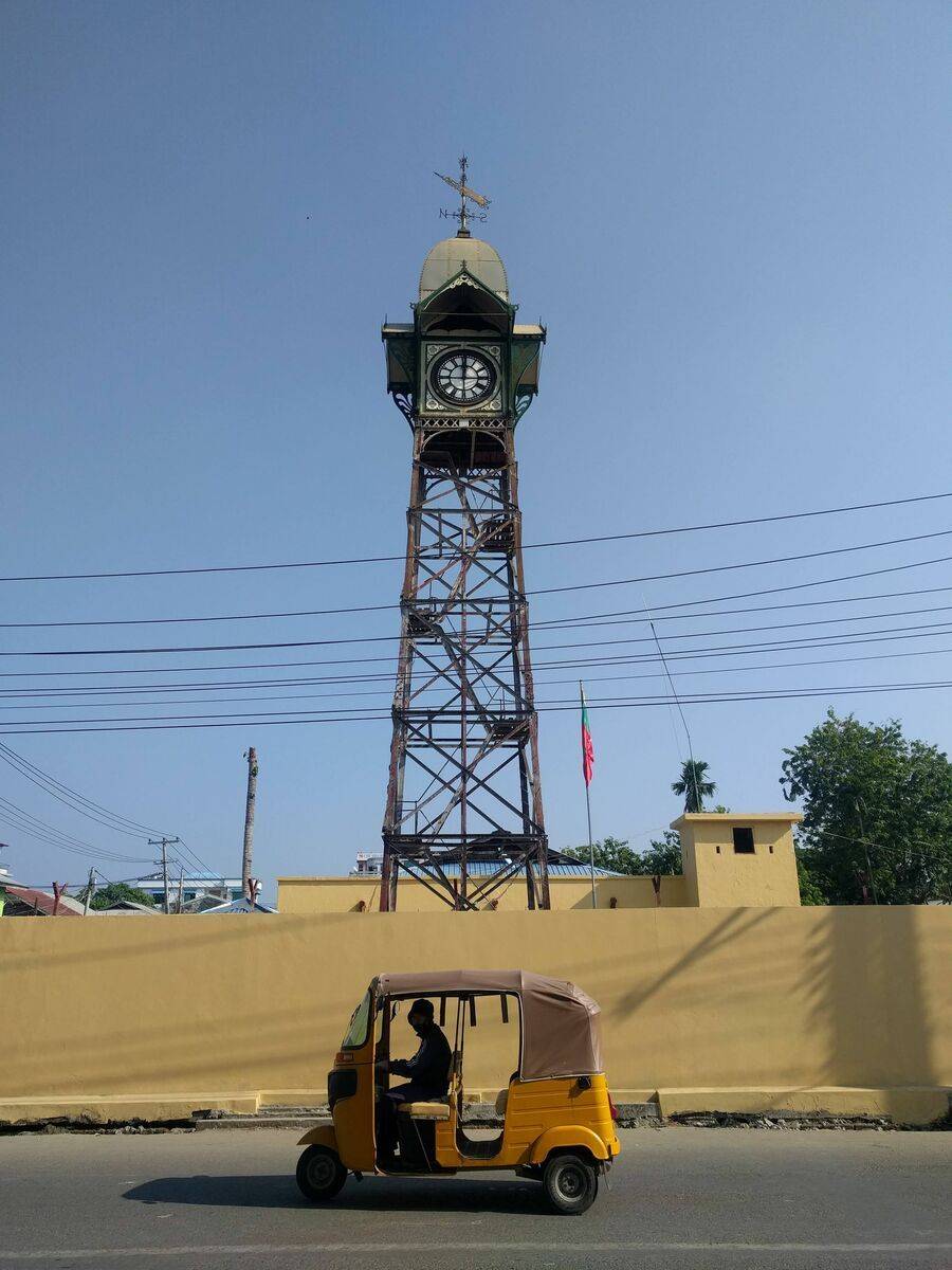
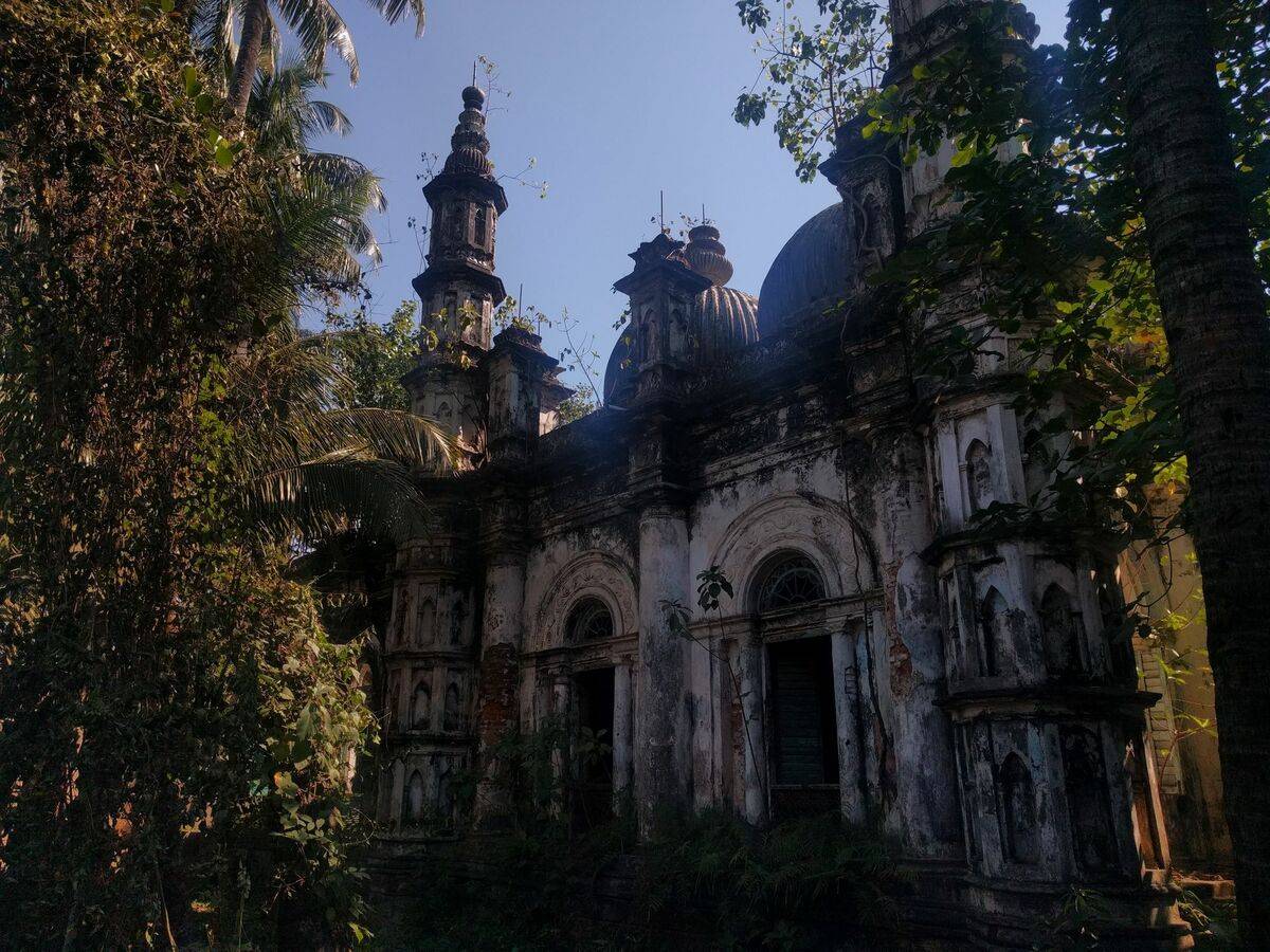
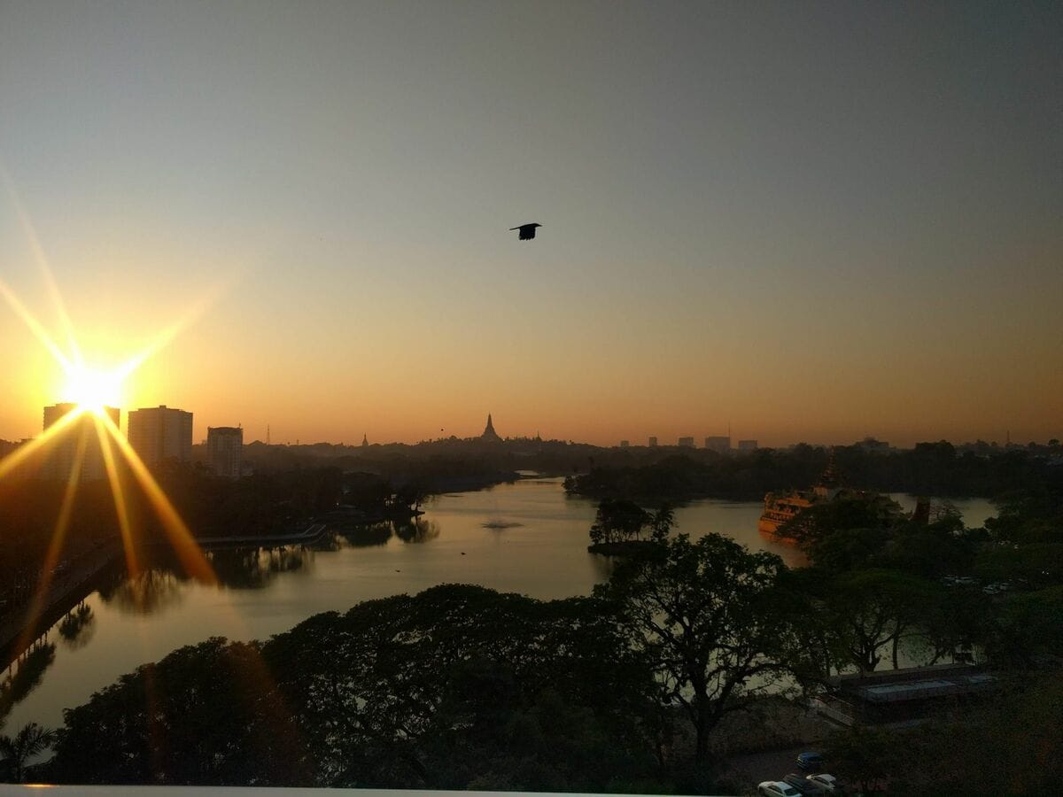
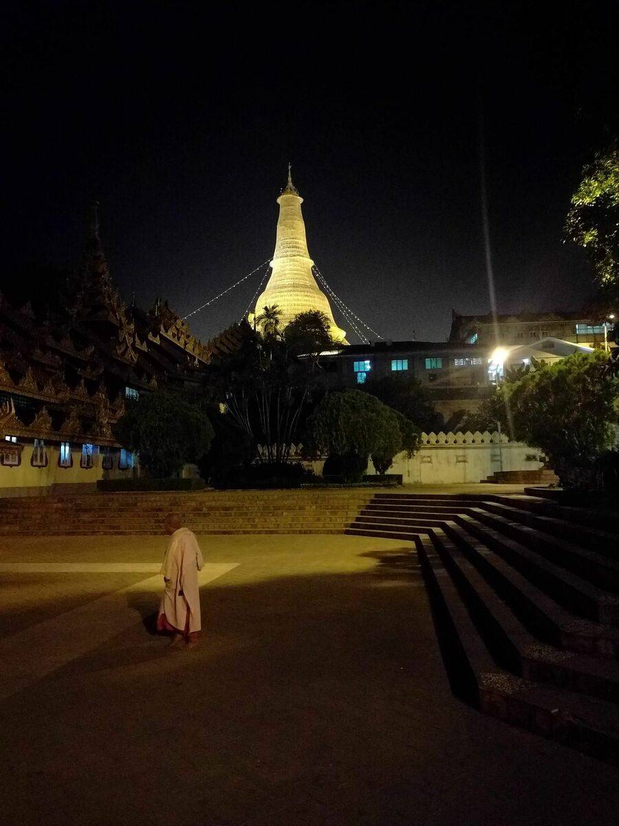
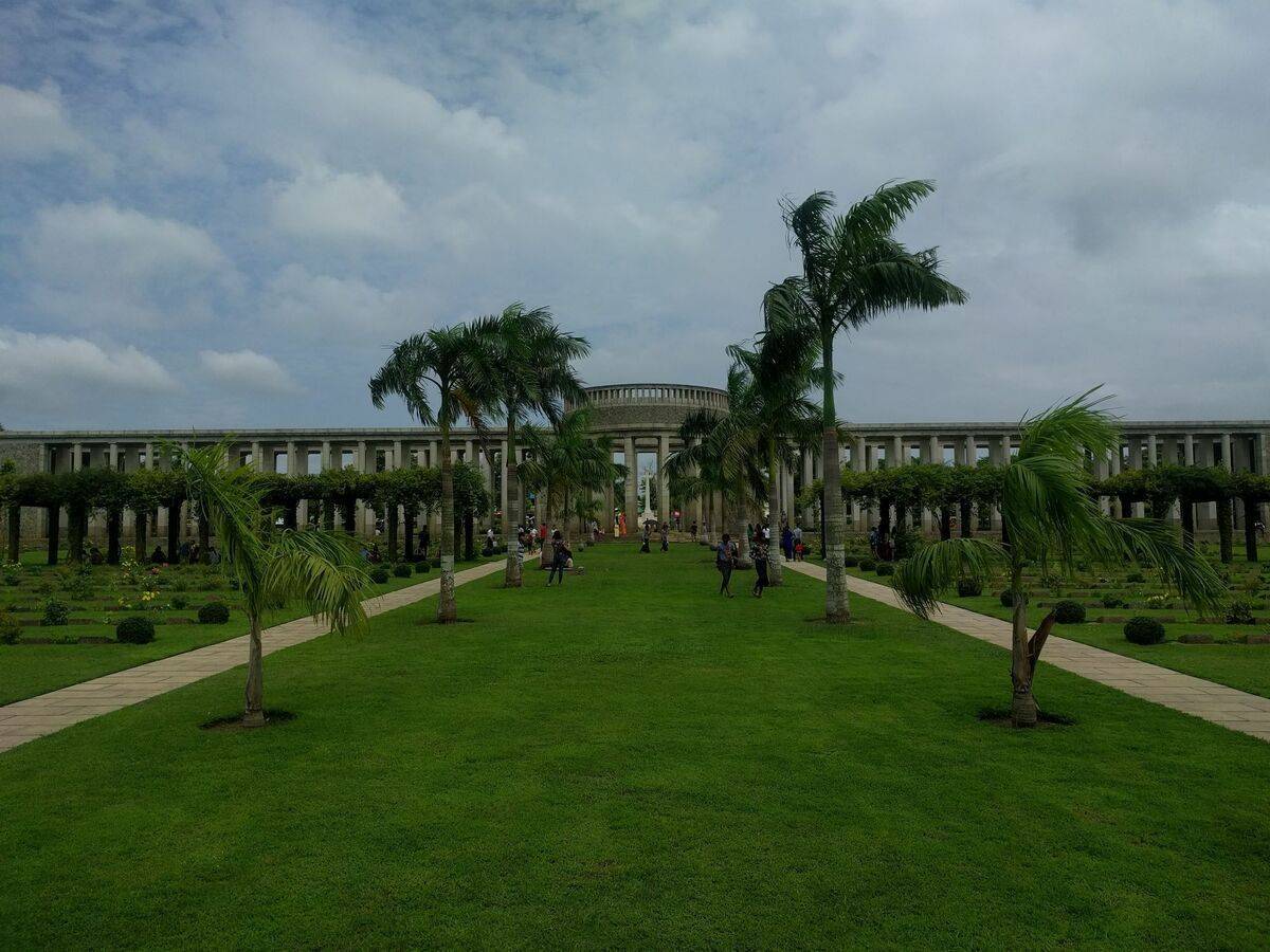
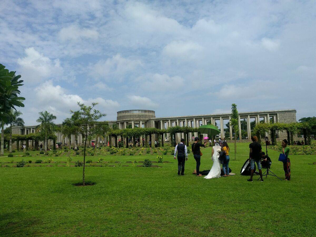
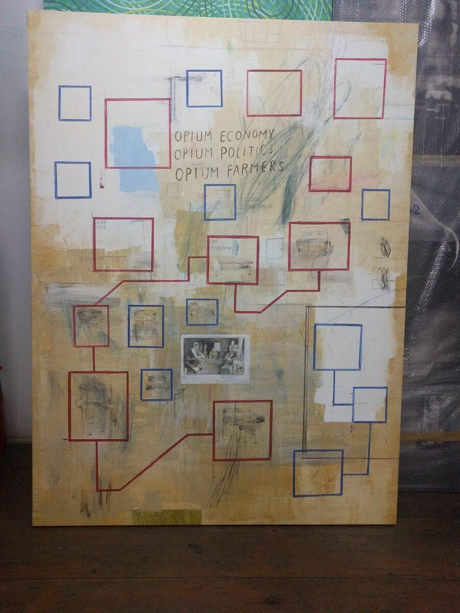
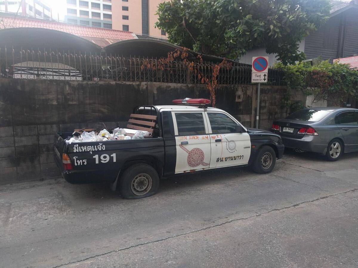
Kyaukme Township, northern Shan StatePansali Village, Namhsan Township, Northern Shan StateMyo Thit (Kung Kha Mai) Village, between Kyaukme and Namhsan TownshipMyo Thit (Kung Kha Mai) Village, in between Kyaukme and Namhsan TownshipPan Kham Village, Hsipaw TownshipThandingyut Festival Celebrations, Pan Kham Village, Hsipaw TownshipThe leadership of the Palaung State Liberation Organization/Army (PSLO/A) and Tatmadaw officers on Lee Lu bridge, Namhsan Township, after concluding the 1991 ceasefire agreement (7th and 8th from the right are PSLO/A's last two chairmen - Tar Khun Yi and Tar Aike Mone)Memorial to one of the founders of the first Ta'ang insurgent group (the Palaung National Force (PNF) - the memorial was built in 2014 by the present Ta'ang insurgent group (Ta'ang National Liberation Army)2016 promotional calendar of the Palaung State Liberation Front/Ta'ang National Liberation Army (PSLF/TNLA)Chinlone (Myanmar game similar to the sepak takraw) match in the courtyard of a monastery in northern Kyaukme TownshipCelebrations for the inauguration of a new Pagoda in a village in northern Kyaukme TownshipSoldier of the Revolutionary Council of Shan State (RCSS) partakes in the celebrations - since late 2015 RCSS has moved from southern Shan State where it was formed to Northern Shan State inside areas previously under the control of PSLF/TNLAThadingyut festival prayersRCSS checkpoint in northern Kyaukme Township built after the group's movement to northern Shan StateRCSS soldier at a checkpoint,northern Kyaukme Township The Hsipaw mosqueThe Kyaukme mosqueHsipawGate at the northern entrance to Wan Hai, Southern Shan State - Wan Hai hosts the headquarters of the Shan State Army (SSA) Shwe Yan Pyay, Nyaungshwe, Southern Shan StateTaung Kwe Pagoda, Loikaw, Kayah/Karenni State - The name Kayah State was imposed by the Burmese central government in 1951. The state was previously internationally recognised as "Karenni State", using the collective name of the Karenni people (of which the Kayah are only one group).Gokteik train stationMandalay-Lashio 131up/132down train linePyin Oo Lwin train stationMandalayMandalay palace wallsSittwe clock tower, Sittwe, Rakhine State1859 Sawduro Bor Masjid mosque, Sittwe, Rakhine StateKandawgyi lake, YangonShwedagon Pagoda, YangonTaukkyan War Cemetery - Commonwealth War Graves Commission (CWGC), Taukkyan, Migaladon Township, Yangon.Wedding shooting at the Taukkyan War CemeteryPainting by Sawangwongse Yawnghwe, artist and grandson of Sao Shwe Taik, Burma's first presidentRoyal Thai Police force multipurpose pick-up
Acknowledgements
All photos (C) Francesco Buscemi, 2019.
(C) Francesco Buscemi
Francesco Buscemi
PhD candidate in Political Science and International Relations at the Pisa-based Sant’Anna School of Advanced Studies. His main areas of interest include insurgency and non-state actors.